- Email : info@champlainareatrails.com
- Phone : (518) 962-2287
- Address : 6470 Main St., Suite 2 Westport, NY 12993
-
location
Essex, NY 12936
-
Category
Moderate

North Boquet Summit Trail
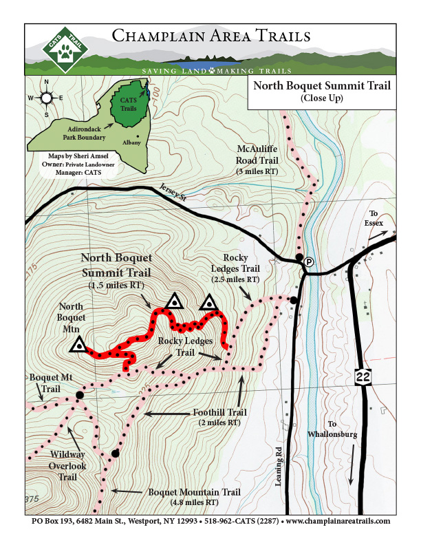
Description: This 3-mile loop trail begins at the trailhead for the Rocky Ledges Trail on Leaning Road in Essex. You’ll hike on Rocky Ledges for 0.4.miles, turn onto this trail, and then meander up the east slope of North Boquet Mountain. The trail features several amazing viewpoints looking east toward Essex, Lake Champlain, and the White and Green Mountains and then north up the lake and valley. Then, you go beyond the summit to find an incredible view of the Adirondack High Peaks.
(This trail can be found as N2 on the Central Champlain Valley CATS map).
Click here to dowload a printable Overview map.
Click here to download a printable close up map.
Rocky Ledges Trail
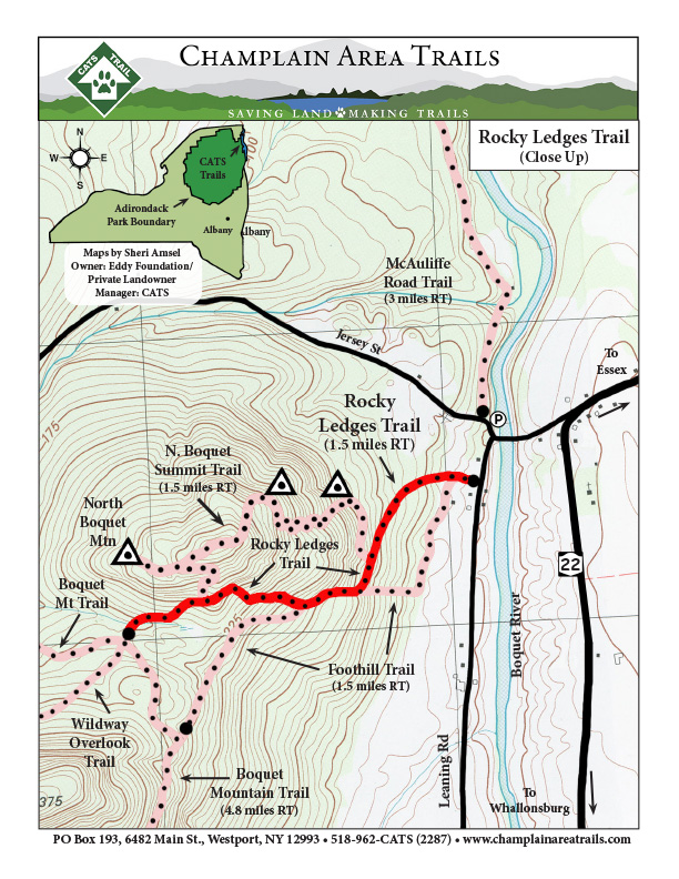
Description: Walk 100 ft south on Leaning Rd to trail Trail thru forest by rock outcrops; leads to North Bouquet Summit Trail. Makes loop trail via Bouquet Mt Trail.
(This trail can be found as R3 on the Central Champlain Valley CATS map).
Click here to download a printable overview map.
Click here to download a printable close up map.
Foothill Trail
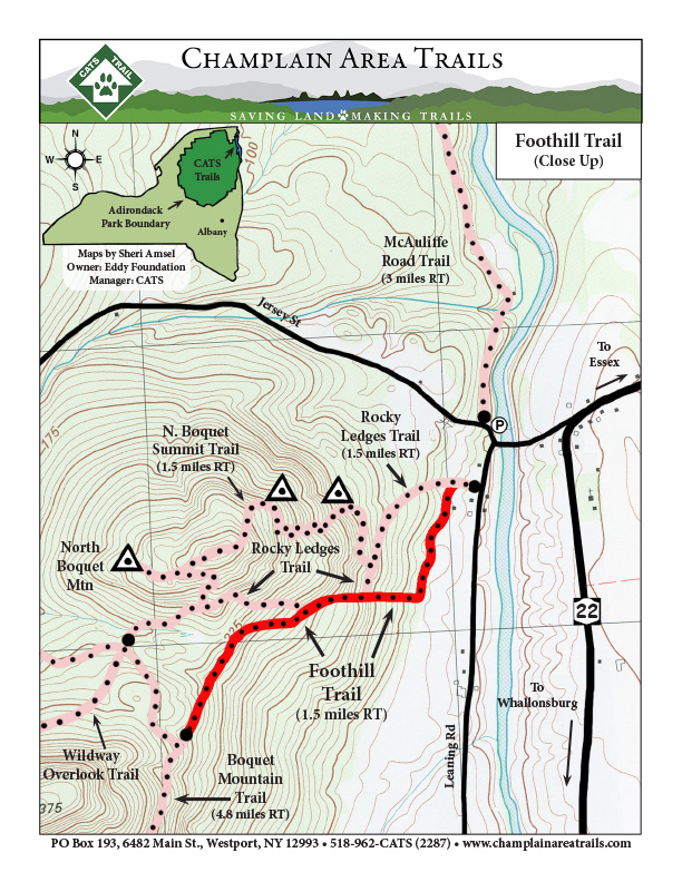
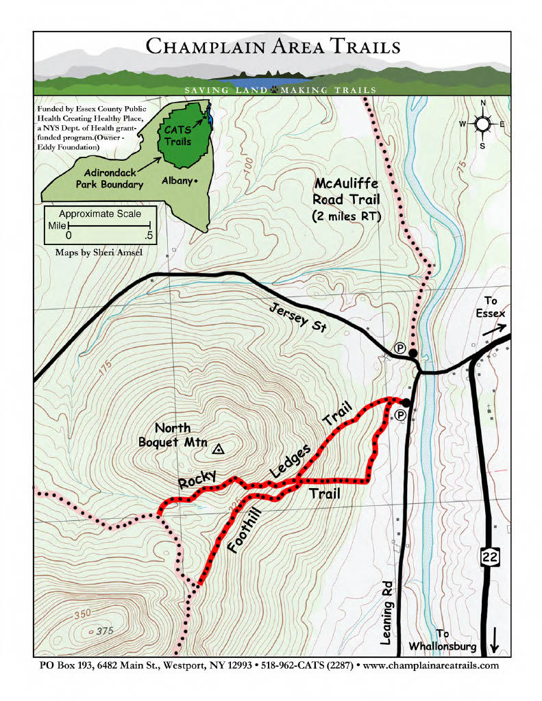
Trailhead same as Rocky Ledges Trail (R3). This trail goes along the edge of a farmfield, climbs steeply, meets the Rocky Ledges Trail, and goes left to Boquet Mountain trail, loopback via Rocky Ledges Trail.
(This trail can be foudn as F4 on the Central Champlain Valley CATS map).
Directions: Click Here for Google Directions.
Find this trail on Jersey St. in Essex. Park at the junction of Leaning Rd and Jersey Street.
Click here to download a printable overview map
Click here to download a printable close-up map
